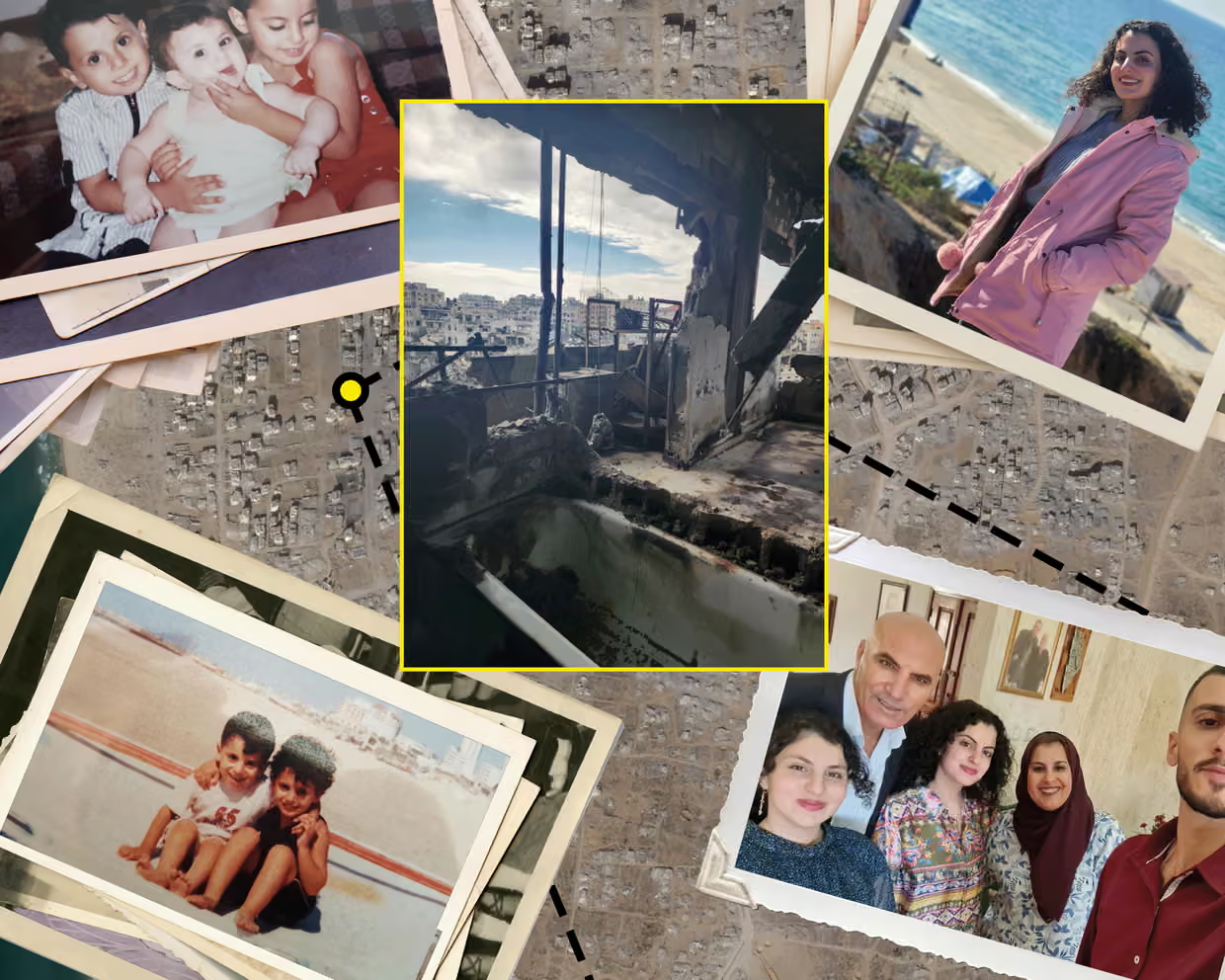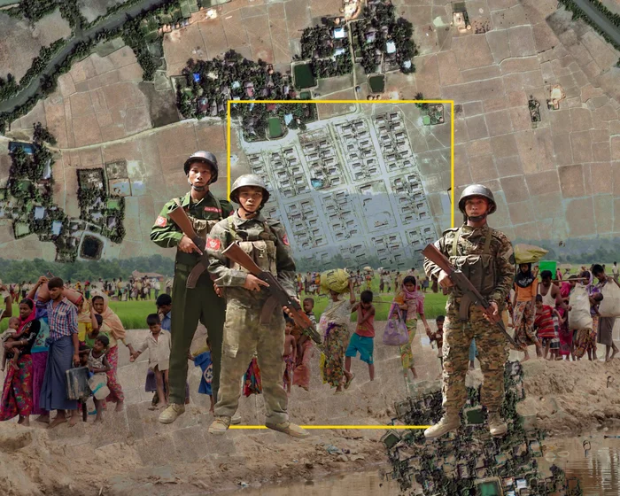
从加沙的毁灭到气候崩溃,卫星影像已成为不可或缺的报道工具。但正如《卫报》最近的一项调查所示,确保其真实性需要大量工作,同时还要将焦点放在地面上受影响的人们身上。当无法亲临现场时,如何见证?记者一直在为此而努力。无论是由于武装冲突、压迫性政权还是禁止进入的地形,有些地方对记者来说仍然太危险或太难以进入。
From the destruction of Gaza to climate breakdown, satellite imagery has become an indispensable reporting tool. But as a recent Guardian investigation illustrates, a lot of work goes into ensuring its veracity and keeping the focus on the people affected on the ground How to bear witness when you can’t physically go there? Journalists have always grappled with this. Whether it’s because of armed conflict, repressive regimes or prohibitive terrain, some places remain too dangerous or difficult for reporters to access.
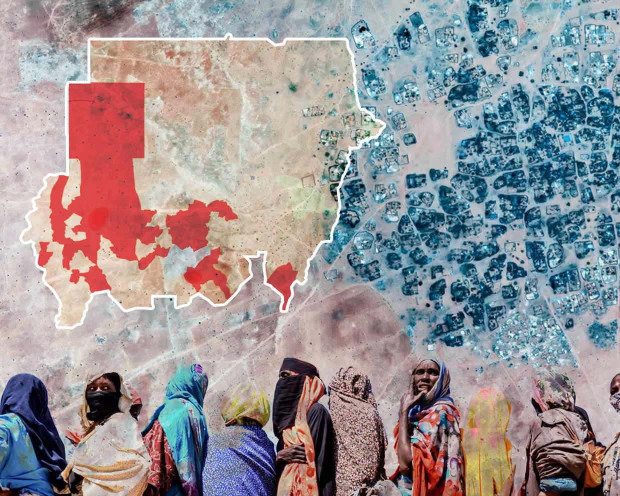
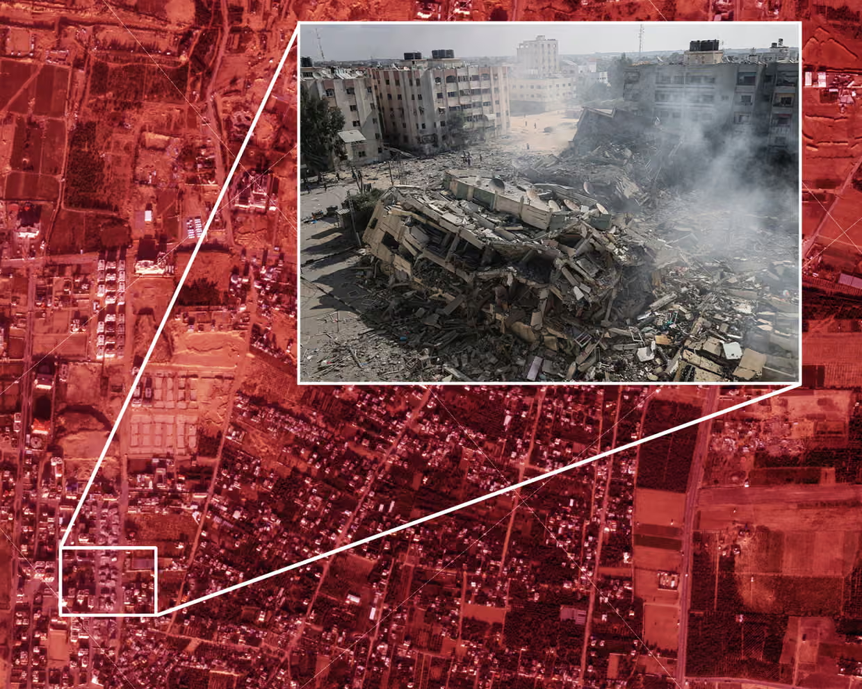
进入低轨道卫星。随着技术的发展和普及,卫星影像变得越来越不可或缺。但就像所有报道工具一样,它需要专业判断和艰苦细致的工作来验证信息。
Enter low-orbit satellites. As the technology has evolved and proliferated, satellite imagery has become increasingly indispensable. But as with all reporting tools, it requires professional judgment and painstaking work to verify things.