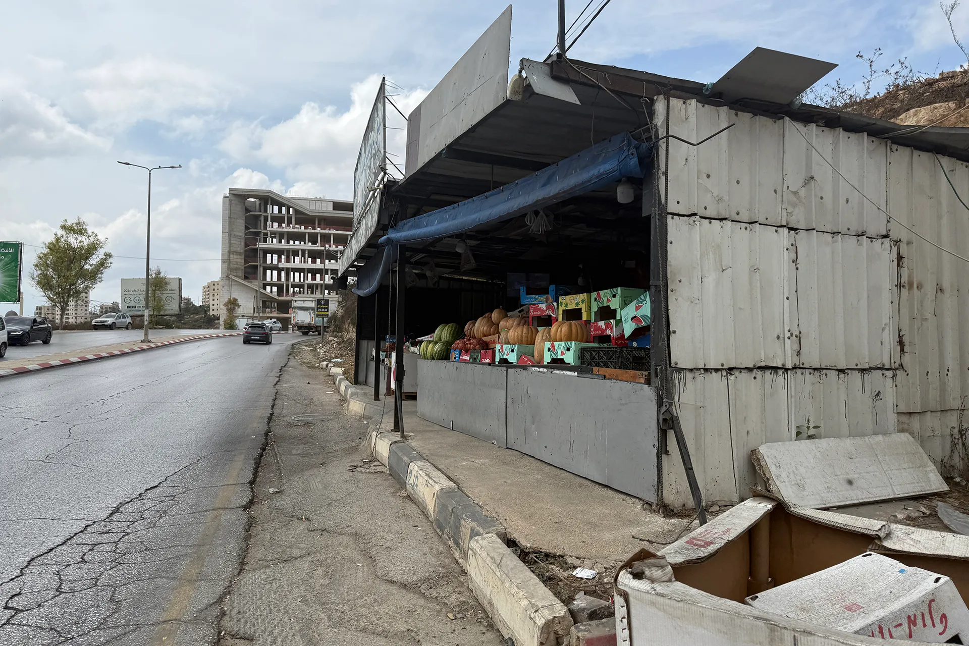
以色列军方据称正准备重新开放463号公路,供定居者通行,此举威胁将隔离约旦河西岸被占领土上的八个巴勒斯坦村庄和两个大型住宅区。
The Israeli army is reportedly preparing to reopen Route 463 to settler traffic, a move that threatens to isolate eight Palestinian villages and two large residential neighbourhoods in the occupied West Bank.
受道路重新开放影响最大的地区将是拉马拉北部和比雷,比雷是拉马拉市的一个郊区。这将把拉马拉和比雷省的北部和南部隔开。
The areas that would be most affected by the reopening of the road would be northern Ramallah and el-Bireh, a suburb of Ramallah city. It would separate the northern and southern parts of the Ramallah and el-Bireh Governorate.
该道路从比雷和东部的贾拉宗难民营延伸约10公里(6英里),直至西部的埃因·基尼亚。
The road extends for about 10km (6 miles) from el-Bireh and the Jalazone refugee camp in the east to Ein Qiniya in the west.
该道路最初建于20世纪90年代中期,旨在连接拉马拉北部的贝特埃尔定居点和位于该市西部的另一个定居点多莱夫。
It was originally constructed in the mid-1990s to connect the Beit El settlement, north of Ramallah, to Dolev, another settlement to the west of the city.
2000年第二次起义爆发后,以色列军方禁止定居者和巴勒斯坦人在一段时间内使用该道路。
Following the outbreak of the Second Intifada in 2000, the Israeli army barred both settlers and Palestinians from using the road for a period.
重新开放该道路是10.75亿新以色列谢克尔(约合3.55亿美元)定居者基础设施预算的一部分,旨在连接被占领约旦河西岸的定居点——根据国际法,这些定居点是非法的。
The reopening of the road is part of a 1.075-billion-Israeli-shekel ($355m) settler infrastructure budget, aimed at connecting settlements in the occupied West Bank, illegal under international law.
虽然目前尚未公布463号公路重新开放的时间表,但以色列极右翼政府正推动在10月27日的以色列选举前实施该计划。该法律将绕过议会(克内塞特),显然是为了加快进程。
While there is no timeline for the reopening of Route 463, the far-right Israeli government is pushing for it to be implemented before Israeli elections on October 27. The law will bypass the Knesset in an apparent attempt to speed up the process.
巴勒斯坦解放组织(PLO)附属机构——殖民与隔离墙抵抗委员会警告称,该计划属于“对巴勒斯坦地理和人口连续性的系统性破坏政策”,该省有近40万巴勒斯坦人分布在80个社区。
The Colonization and Wall Resistance Commission, a monitor affiliated with the Palestine Liberation Organization (PLO), warned that the plan falls under a “systematic policy to dismantle Palestinian geographic and demographic contiguity” in a governorate home to nearly 400,000 Palestinians across 80 communities.
如果道路重新开放,数万巴勒斯坦人将被迫使用贾拉宗难民营北部、贝特埃尔附近的一条旧替代道路,但该道路已经高度拥堵,无法承受任何交通量的增加。
If reopened, tens of thousands of Palestinians would be forced to use an old alternative road near the Jalazone camp, north of Beit El, which is already heavily congested and would be unable to accommodate any increase in traffic.
贾马尔·朱马(Jamal Juma)是抵抗隔离墙和定居点的人民运动协调员,该运动是由独立巴勒斯坦民间社会团体组成的联盟。他说,该道路的重新开放将完全环绕拉马拉的西侧。
Jamal Juma, coordinator of the Popular Campaign to Resist the Wall and Settlements, a coalition of independent Palestinian civil society groups, said the reopening of the road will completely encircle the western side of Ramallah.
受影响的村庄将包括拉马拉北部的苏尔达(Surda)、阿特-提拉(at-Tira)和瓦迪-阿特-提拉(Wadi at-Tira),以及拉马拉西部的艾因-基尼亚(Ein Qiniya)、拉斯-卡尔卡尔(Ras Karkar)、代尔-伊布齐(Deir Ibzi)和艾因-阿里克(Ein Arik)。受影响区域将向西南延伸至贝图尼亚(Beitunia)和拉马拉西南部的水果环岛(Fruits Roundabout),连接萨法镇(Safa)和443号公路(Route 443),这是连接耶路撒冷和以色列的主要干线。
The villages affected will include Surda, at-Tira, and Wadi at-Tira to the north of Ramallah, and Ein Qiniya, Ras Karkar, Deir Ibzi, and Ein Arik to the west. The impacted zone would extend southwest to Beitunia and the Fruits Roundabout, southwest of Ramallah, connecting to the town of Safa and Route 443, a main artery between Jerusalem and Israel.
过去二十年来,东部道路封闭迫使巴勒斯坦行政首都拉马拉的城市扩张向西推进,使得城市与比尔泽特(Birzeit)和苏尔达(Surda)等邻近地区形成一个连续的城市街区。向定居者开放道路将阻碍这种扩张,使拉马拉与其周边村庄分离。
Road closures to the east have pushed the urban expansion of Ramallah, the administrative capital of Palestine, westwards over the past two decades, making one continuous urban block between the city and neighbouring areas such as Birzeit and Surda. Opening the road to settlers will impede this expansion, separating Ramallah from its surrounding villages.
朱马警告,将人口稠密的西岸村庄居民使用的道路改造成“定居者道路”,很可能伴随着更多的军事检查站、瞭望塔和广泛的土地没收,所有这些都将影响巴勒斯坦人。此外,还可能以“定居者安全”为借口,导致更多房屋拆除和农民通行受限。
Turning a route used by the inhabitants of heavily populated West Bank villages into a “settler road” will likely be accompanied by more military checkpoints, watchtowers, and widespread land confiscations, Juma warned, all affecting Palestinians. There could also be more home demolitions and restricted access for farmers under the pretext of “settler security”.
定居者道路是连接定居点和前哨站、同时分离巴勒斯坦社区的网络的主要组成部分。截至2026年3月,定居者道路占据了被占领西岸面积的3%以上,还有更多巴勒斯坦土地因其存在而受到影响。
Settler roads are a major component of a network that connects settlements and outposts while separating Palestinian communities. As of March 2026, settler roads occupy more than 3 percent of the occupied West Bank’s area, with many more swaths of Palestinian land affected by their presence.
该委员会指出,在2023年10月至2026年4月期间发布的173项军事和安全命令中,有66项专门用于修建定居者道路。仅在2026年上半年,以色列占领当局就发布了40项军事土地征用命令,目标是611杜纳姆(1杜纳姆等于1000平方米),用于修建16条安全道路。
The commission noted that out of 173 military and security orders issued between October 2023 and April 2026, 66 were dedicated to constructing settler roads. During the first half of 2026 alone, the Israeli occupation issued 40 military land seizure orders targeting 611 dunams – a dunam being 1,000 square metres – to build 16 security roads.
重新开放这条道路的推动,是在占领区约旦河西岸发生的一波由定居者发动、并与以色列军方配合的暴行之后出现的。
The push to reopen the road follows a wave of pogroms across the occupied West Bank by settlers, in coordination with the Israeli military.
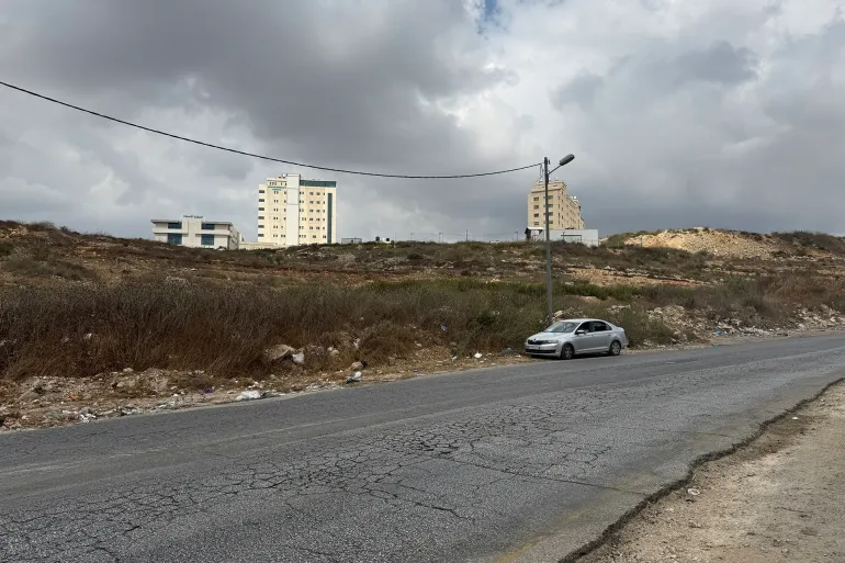
9月8日,定居者封锁了拉斯卡尔卡地区艾因艾尤卜附近的一个环岛,向巴勒斯坦车辆投掷石块。
On September 8, settlers closed a roundabout near Ein Ayoub in the Ras Karkar area, pelting Palestinian vehicles with stones.
这些袭击以及重新开放道路的推动,与2023年10月7日以色列对加沙发动种族灭绝战争以来,对占领区约旦河西岸巴勒斯坦人行动限制的收紧同时发生。
The attacks and the push for the reopening of the road coincide with a tightening of restrictions on Palestinian movement in the occupied West Bank since October 7, 2023, when Israel’s genocidal war on Gaza began.
比雷市市长穆尼夫·特赖什对半岛电视台表示,该道路95%的路线位于B区,根据1995年《奥斯陆第二协议》,该区处于巴勒斯坦民政管理和巴以联合安全控制之下。仅一小段位于C区,该区处于以色列全面控制之下。
Munif Treish, the mayor of el-Bireh, told Al Jazeera that 95 percent of the road’s route falls within Area B, which according to the 1995 Oslo II Accords is under Palestinian civil administration and joint Israeli and Palestinian security control. Only a small section lies in Area C, which is under full Israeli control.
特赖什表示,重新开放这条道路将“明确违反”以色列过去与巴解组织达成的协议。
Treish said the reopening of the road would be a “clear violation” of agreements Israel has previously agreed to in the past with the PLO.
他说:“将这条街道改作定居者和军方之用,构成生存威胁,瘫痪了城市扩张,服务于定居点活动,损害了25万巴勒斯坦人的未来。”
“The repurposing of the street for the benefit of settlers and the military constitutes an existential threat that paralyses urban expansion and serves settlement activities, harming the future of 250,000 Palestinians,” he said.
“市政当局不会允许它被没收并挪作服务定居点之用,将继续通过一切法律途径予以阻止。”
“The municipality will not allow it to be confiscated and diverted to serve settlements and will continue to pursue all legal avenues to prevent this.”