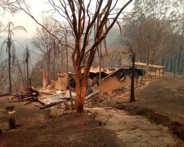
独家:研究证实官方关于高风险住宅的建议,并警告恶化的条件将使更多住宅变得不安全。新南威尔士州在2019年和2020年黑色夏季山火中被毁的几乎所有住宅都位于用于识别最易受风险威胁住宅的100米缓冲区内,新研究发现。
Exclusive: Research confirms official advice about high-risk properties and warns worsening conditions will make more homes unsafe Almost every home destroyed in New South Wales during the black summer bushfires of 2019 and 2020 was inside the 100 metre buffer zone used to identify properties most at risk, new research has found.
这些发现证实了当局使用的风险图是正确的,但研究警告说,随着全球变暖导致火灾条件日益恶化,消防员可能需要将住宅与植被之间的建议安全距离延长,以确保住宅安全。
The findings are an endorsement of the risk maps used by authorities, but the research warns that as global heating generates ever-worsening fire conditions firefighters may have to extend the recommended distances between homes and vegetation to keep homes safe.
订阅以获取气候与环境编辑亚当·莫顿(Adam Morton)的《清晰空气》专栏作为免费通讯
Sign up to get climate and environment editor Adam Morton’s Clear Air column as a free newsletter