作者:Joshua Partlow自本飓风季开始以来,已过去四个多月,大西洋一直异常平静——这是一段没有任何飓风的非凡时期。这种长久的平静被飓风“伊赛亚斯”粗暴地打破了,这是一个三级“快速球”,正逼近墨西哥湾沿岸,预计将于今晚在阿拉巴马-佛罗里达交界处附近登陆。“我想我们当时就知道,在某个时候我们很可能会遇到一场飓风,”国家飓风中心运营部主任丹尼尔·布朗告诉我。
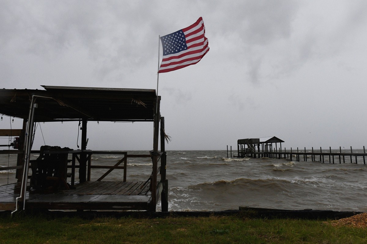
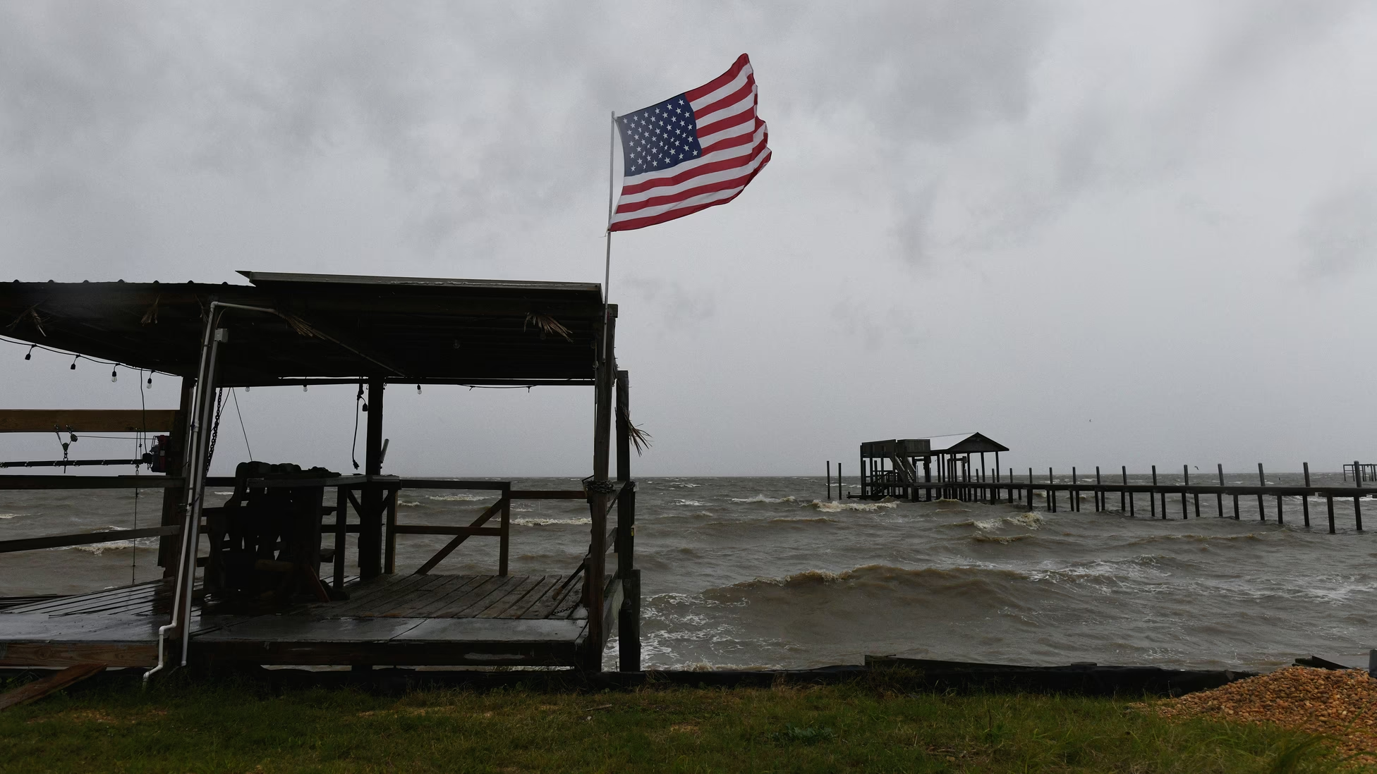
By Joshua Partlow For more than four months, since this hurricane season began, the Atlantic has been eerily placid—a remarkable stretch without a single hurricane. That prolonged calm has been rudely interrupted by Hurricane Isaias, a Category 3 fastball that is bearing down on the Gulf Coast and is expected to make landfall this evening near the Alabama-Florida line. “I think we knew at some point we would likely have a hurricane,” Daniel Brown, the operations-division chief at the National Hurricane Center, told me.
太平洋也不甘示弱,正酝酿着两场大型风暴,其中包括飓风“西蒙”,预计将迅速增强为四级飓风并猛击墨西哥海岸。另一个较小的热带风暴“雷切尔”预计将影响远至南加州的地区。“今天这儿很忙,”布朗说。
Not to be outdone, the Pacific Ocean has two major storms brewing, including one, Hurricane Simon, that is expected to rapidly intensify into a Category 4 and slam into the coast of Mexico. A smaller one, Tropical Storm Rachel, is forecast to be felt as far north as Southern California. “It’s a busy day here,” Brown said.
本季的态势——大西洋风平浪静,太平洋波涛汹涌——完全符合厄尔尼诺现象的剧本,且数月前就已被预测到。厄尔尼诺倾向于产生相反方向的风——来自东方的低空信风和高空西风——这些风在大西洋风暴试图形成时将其撕裂,并阻止它们增强。布朗说,这种风切变现在正影响着飓风“伊赛亚斯”,这意味着该风暴在登陆前可能会稍微减弱。
This season’s dynamic—an unruffled Atlantic and a frothing Pacific—has been right out of the El Niño playbook and was predicted months ago. El Niños tend to generate opposing winds—low-altitude trade winds out of the east and higher-up westerlies—that tear apart Atlantic storms as they try to form and also keep them from gaining strength. This type of wind shear is affecting Hurricane Isaias now, Brown said, which means that the storm could weaken a little before it makes landfall.
但目前它的风速仍达每小时115英里,预报警告称将出现“危及生命的风暴潮和毁灭性大风”。沿海县份已下令撤离;阿拉巴马州和佛罗里达州州长已宣布进入紧急状态;居民正忙着做飓风防范准备。预报员预计登陆地点将在阿拉巴马州莫比尔和佛罗里达州彭萨科拉附近的海岸线段。一旦风暴向内陆移动,预计将继续造成麻烦,并可能导致美国东南部大片地区断电。
But for the moment, it’s still whipping at 115 miles an hour, and the forecast warns of “life-threatening storm surge and devastating winds.”Coastal counties have ordered evacuations; the governors of Alabama and Florida are declaring emergencies; residents are scrambling through hurricane prep. Forecasters are projecting landfall on the stretch of coastline near Mobile, Alabama, and Pensacola, Florida. Once the storm moves inland, it’s expected to continue to cause problems and could knock out power across wide swaths of the Southeast.
佛罗里达州州长罗恩·德桑蒂斯在新闻发布会上表示,数千名电力线路工和国民警卫队队员正在待命。墨西哥湾沿岸各州知道如何应对这类风暴,但它们享受了一段异常漫长的喘息期,无需提心吊胆地等待下一场风暴会有多严重。
Florida Governor Ron DeSantis said during a news conference that thousands of utility linemen and National Guardsmen are standing by. The Gulf Coast states know how to brace for this kind of storm, but they’ve had an unusually long reprieve from watching and waiting to see how bad the next one will be.
相比之下,在太平洋,四级飓风在这个季节几乎是家常便饭。布朗表示,到今年这个时候,太平洋通常会产生13个足以命名的风暴。而今年,我们已经迎来了第19个。这股飓风潮在很大程度上归因于赤道太平洋异常温暖海水的积聚——目前某些区域的水温比常年高出4摄氏度以上。这种变暖助长了该海域的风暴活动;几个月来,它不断催生飓风并将其推向夏威夷。
In the Pacific, by contrast, a Category 4 hurricane is almost par for the course this season. By this time of year, the Pacific has usually generated 13 storms potent enough to warrant their own name, Brown said. This year, we’re on number 19. This onrush of hurricanes has a great deal to do with the buildup of abnormally warm waters in the equatorial Pacific—which, at this point, are in certain areas more than 4 degrees Celsius warmer than usual. This warming gins up storm activity in that ocean; it’s been spinning up hurricanes and hurling them toward Hawaii for months.
风暴涌浪还侵蚀了南加州海滩并淹没房屋,且仍在持续。今天,海水淹没了加州巴尔博亚半岛的街道,浸没汽车和房屋,而热带风暴“雷切尔”此时距离那里还很远。
The storm swells have also eroded Southern California beaches and swamped homes, and they keep coming. Today, seawater flooded the streets of Balboa Peninsula, California, inundating cars and homes, well before Tropical Storm Rachel was anywhere close to arriving.
墨西哥海岸面临飓风西蒙的特别威胁,预计该飓风将给哈利斯科州和纳亚里特州等沿海州带来可能危险的洪水和山体滑坡。在更北边的下加利福尼亚半岛,社区仍在从飓风波洛的影响中恢复,该飓风上个月造成了大范围洪水,并导致数百人流离失所。
The coast of Mexico is at particular risk from Hurricane Simon, which is forecast to bring potentially dangerous flooding and landslides to coastal states such as Jalisco and Nayarit. Further north, on the Baja California peninsula, communities are still recovering from the effects of Hurricane Polo, which caused widespread flooding last month and displaced hundreds of people.
这些海域的风暴记录只会强化这样一个观点:世界正处于一个异常强劲的厄尔尼诺现象之中。正如我在8月所报道的,太平洋关键区域的温度已经升得足够高,足以使这成为一个“超级厄尔尼诺”;我当时采访的专家预计,这一事件最终可能达到那种升温幅度的两倍。如果这些趋势持续下去,这可能成为有记录以来最强的厄尔尼诺现象,而现在,“一切似乎都在按轨道发展,这将是一个非凡的事件,”国家气象局气象学家尼克·诺韦拉告诉我。
The storm scorecard in these oceans has only reinforced the notion that the world is in the midst of an unusually powerful El Niño. As I reported in August, key areas of the Pacific Ocean had already gotten hot enough to make this a “Super El Niño”; the experts I spoke with then were anticipating that the event could end up peaking at twice that amount of warming. If those trends hold, this could be the strongest El Niño ever recorded, and right now, “everything seems to be on track with this being a remarkable event,” Nick Novella, a National Weather Service meteorologist, told me.
这个季节已经创造了一项纪录——这是卫星时代(自1966年以来)大西洋形成飓风最晚的一次。甚至没有任何悬念。“这项纪录被打破了近一个月,”诺韦拉说。通常情况下,到9月底会形成五个大西洋飓风。对于墨西哥湾沿岸的居民来说,飓风伊萨亚斯登陆前这些不安的时刻是那份宁静的最后时光。希望今年第一个大西洋风暴不会太大程度地改变我们对这个相对平静季节的记忆。
This season has set a record already—this is the latest in the year that a hurricane has formed in the Atlantic at any time during the satellite era, since 1966. And it isn’t even close. “This record was broken by nearly a month,” Novella said. Normally, five Atlantic hurricanes form by the end of September. For residents of the Gulf Coast, these uneasy hours before Isaias makes landfall are the last moments of that quiet. Hopefully, the year’s first Atlantic storm will not change too dramatically how we remember this season of relative calm.