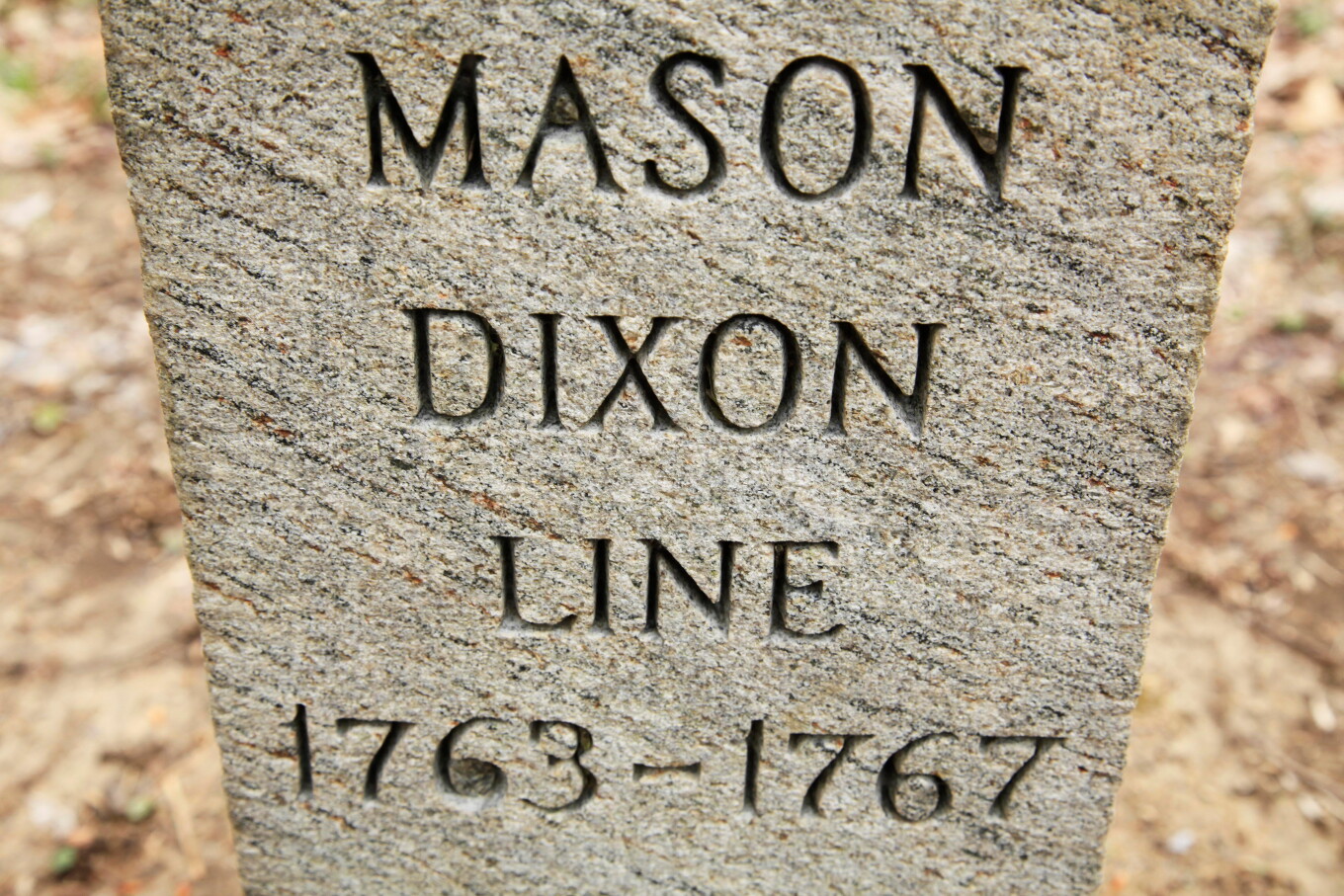
艾伦·G·布里德 这或许是美国历史上最具影响力的地图。而且它可能属于你。
ALLEN G. BREED It’s perhaps the most consequential map in American history. And it could be yours.
这张最终划分自由州与蓄奴州的梅森-迪克松线手绘图表即将拍卖。该文件重新装裱于日本和纸衬背上,将于周四在一场直播拍卖会上出售。
The hand-drawn chart of the Mason-Dixon Line that eventually divided the free from the slave states is going up for auction. Remounted on backing made of Japanese rice paper, the document will go on sale Thursday in a livestreamed auction.
“能如此接近一件如此具有历史意义的文物,并非常有的机会,”北卡罗来纳州阿什维尔布里克拍卖行副总裁劳伦·布伦克说。“这真的令人敬畏。”布伦克估计,这件匿名卖家的藏品可能拍出80万至120万美元。
“It’s not that often that you can really get this close to something that is so historically important,” said Lauren Brunk, vice president of Brunk Auctions in Asheville, North Carolina. “And it was awe-inspiring, really.”Brunk estimates it could fetch anywhere from $800,000 to $1.2 million for the anonymous seller.
查尔斯·梅森和杰里米亚·迪克松的测量最初旨在解决当时马里兰殖民地与宾夕法尼亚殖民地之间的边界争端。但当它在1820年密苏里妥协中被用来划定仍处于青春期的美国境内人身束缚的界限时,它便与四十年后爆发内战的根本分歧划上了等号。
The survey by Charles Mason and Jeremiah Dixon was originally meant to settle a border dispute between the then-colonies of Maryland and Pennsylvania. But when it was used in the 1820 Missouri Compromise to establish the limits of human bondage in the still adolescent United States, it became synonymous with the fundamental divisions that exploded into civil war four decades later.
“美国人所熟知的梅森-迪克松线,是北方自由州与南方蓄奴州之间的分界线,”布伦克说。“但划线最初并非出于这个原因。”一种流行的说法认为,“迪克西”一词源自迪克松,尽管其真实起源存在争议。
“The Mason-Dixon Line that most Americans know is this dividing line between the northern free states and the southern slaveholding states,” Brunk said. “But the line was not drawn for that reason.”A popular theory is that the term “Dixie” comes from Dixon, though the true origin is disputed.
图表绘制后不久,这张长76英寸(193厘米)、高6.5英寸(16.5厘米)的亚麻衬背纸条便被交给了宾夕法尼亚州创始人威廉·佩恩后裔的代理律师本杰明·丘的家族。该地图一直保留在家族手中,直到1982年,已故出版商马尔科姆·S·福布斯以36万美元出价击败美国国会图书馆将其买下,布伦克说。当时,据说这是美国地图在拍卖会上创下的最高价格。
Soon after it was drawn, the linen-backed strip of paper -- 76 inches (193 centimeters) long and 6.5 inches (16.5 centimeters) tall -- was given to the family of attorney Benjamin Chew, who represented the descendants of Pennsylvania founder William Penn. The map remained in the family’s hands until 1982, when late publisher Malcolm S. Forbes outbid the Library of Congress and bought it for $360,000, Brunk said. At the time, it was said to have been the highest price ever paid at auction for an American map.
这幅地图于2002年再次易手。(普林斯顿大学收藏有一幅展现特拉华州与马里兰州边界的纵剖面图。)布伦克联系了国会图书馆的官员,询问他们是否愿意再次竞标。
The map changed hands again in 2002. (A vertical section showing the Delaware-Maryland border is housed at Princeton University.) Brunk reached out to officials at the Library of Congress to see if they wanted to bid on it again.
“我想让他们知道这幅地图将重新回到市场,”她说。“而他们表示,就目前的预算状况而言,他们无力购买。”
“I wanted them to be aware that this was coming back to the market,” she said. “And they said, at this point, budgets being what they are, they were just not in a position to buy it.”
但布伦克说,如果有哪位爱国者愿意代表图书馆购买它,“他们会很高兴拥有它。”
But if some patriot out there wants to purchase it on the library’s behalf, Brunk said, “they’d be happy to have it.”